

ABOUT

GeoBase
Soil Properties SPT & CPT - Boring Logs - Sections - Lab Tests - Database
The Problem
Geotechnical data is often fragmented across multiple tools - one for soil property estimation, another for cross sections, others for laboratory testing and reporting. This fragmented workflow leads to duplicated work, inconsistent assumptions, limited traceability, and increased risk of errors when moving data between software packages. As project complexity and data volume grow, managing geotechnical investigations efficiently becomes increasingly difficult.
The Solution
GeoBase unifies your entire geotechnical and laboratory workflow into a single, integrated platform. From borehole logging and geotechnical cross sections to SPT and CPT-based soil property estimation and laboratory test processing, everything is managed in one environment. Built-in statistical tools allow you to define confidence levels and evaluate variability, helping you make informed engineering decisions based on data, not assumptions. GeoBase can be used as a standalone tool or connected to a centralized database, ensuring consistency, traceability, and long-term data management across projects.
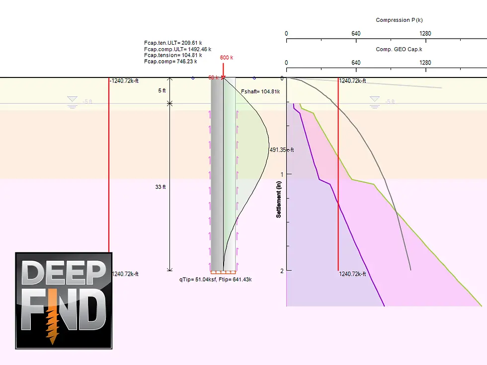
GEOBASE SOFTWARE

Key Capabilities and Benefits
-
Reliable Soil Property Estimation from SPT and CPT
Estimate geotechnical parameters directly from field data using proven correlations, reducing manual calculations and improving consistency across projects.
-
Statistical Analysis with Defined Confidence Levels
Analyze estimated properties using statistical tools that allow you to quantify uncertainty and select design values with confidence.
-
Editable Borehole Logs with Full Control
Create, review, and directly edit borehole logs in an intuitive environment, ensuring accurate representation of subsurface conditions.
-
Integrated Geotechnical Cross Sections
Generate clear and consistent geotechnical sections directly from your borehole data, saving time and minimizing interpretation errors.
-
Piezometer Logs and Groundwater Visualization
Record and visualize groundwater measurements alongside borehole data for a complete understanding of subsurface conditions.
-
Map-Based Project Visualization
Import maps from Google to locate boreholes spatially, improving project organization and communication.
-
Laboratory Test Processing and Reporting
Analyze laboratory test results and generate structured reports within the same platform, maintaining full traceability from field investigation to final design values.
Benefits
WHY CHOOSE GEOBASE?
Reliable and Comprehensive Data
Effective Groundwater Management
Enhanced Soil Characterization
Data-Driven Decision Making
Clear Visual Insights
Enhanced Geospatial Context
PRODUCTS
SOLUTIONS FOR GEOTECHNICAL ENGINEERING PROFESSIONALS


Our Partners
%201%20(1).png)
%20(1)%201%20(1).png)


.png)


.png)
.png)
.png)
.png)

.png)
.png)
.png)

.png)


.png)
%201.png)

TRUSTED BY MORE THAN 3000 PROFESSIONAL USERS - ENGINEERS AND FIRMS - WORLDWIDE!